
Rannoch
The village of Kinloch Rannoch was created in the period after the '45. It is a nomenclatural oddity.
MoreAs part of the inaugural Perthshire Archaeology Week, on the 15 June 2003, Mark Hall of Perth Museum and Art Gallery led an enthusiastic party around the early medieval landscape of Struan.
We looked at three elements in particular:
1.The Garry-Errochty river junction and placenames;
2. Struan Kirk and Kirkyard;
3. Struan mound.
This article is by way of a brief account of that walk-and-talk.

We began our historical exploration where the waters of the River Garry and the Errochty Water meet and thus define a rather peninsula-like piece of land on which Struan Kirk stands. Struan drives from the Gaelic word sruthan, meaning 'place of streams, confluence' and so is an eloquent description of the meeting of the Garry and the Errochty. The word Errochty is also of Gaelic origin and means 'Assembly place'. Garry, incidentally, may derive from the Gaelic for thicket or den or it may be from the name Garaidh, an Irish hero. That these names have a Gaelic origin suggests that they were named at the time of Gaelic settlement from the West Coast (present day Argyll, in the past Dalriada) during the 7th/8th century, giving rise to the Gaelic kingdom of Atholl. The place name Struan may seem no more than a prosaic description of a place where two rivers meet but it is clear that such places had a notable value to early medieval peoples. A Pictish or British equivalent, Aber, is one of the commonest surviving such place name elements, meaning 'at the confluence of' (e.g Aberfeldy, Abernethy and Aberdeen). The name Struan occurs much more rarely (in part because river names often retain their older names even during periods of extensive immigration) but there is a further example in Perthshire, with the variant spelling of Strowan, near Crieff. In the past Strowan and Struan were clearly interchangeable spellings of the same word: both are at various times used to name both places. What is particularly interesting about Strowan and Struan is that both are places where the meeting of the rivers (in Strowan's case the Earn and the Glascorrie Burn) are marked by the presence of an early medieval church site and early medieval or Pictish sculpture.
The third crucial element in the landscape around Struan Kirk is the mound, which lies a few yards to the north-west of the Kirk. This mound has long been known as Tom an Tigh Mhoir - the mound of the great house. This Gaelic name may however be of comparatively recent origin, to explain the mound, the original purpose of which had been forgotten. In 1890 the antiquary MacIntosh-Gow recorded that on top of the mound the presence of clearly visible building foundations, said to be the remains of a house built by a local Laird but never finished apparently because a neighbour over the river Garry built a much higher castle. However the nature of the mound is such that if anyone should try and rather foolishly build on it they would soon find that they had no room and no weight bearing stability.
The mound measures approx. 20 foot high and is approx. 75ft in diameter across the base and 55ft across the top. It is generally held to be an early stronghold of the Chiefs of Clan Donnachaidh and in a survey of mottes in Scotland published in 1972 (and republished in 1985) it is accepted as being a motte. However there are a number of factors that suggest that it may not be a motte at all but rather an assembly mound. The factors that work against its being a motte can be listed as follows:
Size: superficially it does look quite large but the available area to be built on is rather small when compared with other mottes and when this is set alongside the subsequent points it is even more telling.
Ditch: there is no defensive ditch surrounding the mound nor any sign that there ever was one. There is a partial ditch of very shallow depth which runs around the northern perimeter which seems rather like a later addition possibly for drainage purposes.
Location: the mound is built-up from the steep bank of the river Garry, which would make it structurally unsound - especially if built upon - particularly during flooding and high river levels.
Spring: the sloping river-bank on which it is built is also the location of a spring, making it even more susceptible to slippage. This spring was long revered as the well of St Fillan and tradition records that a wooden statue of St Fillan (kept in the Kirk) was ritually dipped in the well at times of drought in the hope of bringing rain. In the early 18th century the then incumbent Minister John Hamilton, found this to be an unpalatable vestige of Catholic belief and so had the statue smashed and thrown into the Garry.
There are still difficulties with identifying what the mound was used for and it clearly did seem to have supported some form of structure as lines of walls can still be seen on the mound. However it is possible that these relate to the construction of the mound itself or to a small building added at a much later date or a building started but abandoned. It is a strong possibility that a structure that has stood for as many centuries as the mound has had more than one episode of use and that what we see today is a conflation of use, re-use and adaptation. Given its physical appearance its location and its landscape context (including the early church and the placenames) it seems highly likely that the mound was originally constructed (or adapted) as a mound of assembly and /or judgement. Such mounds (sometimes known as moot hills) can be purpose built or adaptations of existing man-made or natural mounds. Such mounds of assembly are often associated with a church and seem to occur quite widely from the 9th/10th century. There seem to be two (not always) distinct traditions, Scandinavian (for example Govan on the Clyde and Tynwald on the Isle of Man) and Irish/Gaelic/British (for example Scone, Perthshire and Tara in Ireland). There also seems to be a wide range of mound sites, some beside churches, some with churches upon them and their precise subtleties of meaning require further study. Examples include Kirkinch (nr. Meigle), Angus; Eassie, Angus; Caputh, Perthshire; and La Hogue Bie, Jersey (where the church is built on top of a Neolithic burial mound). Caputh is notable for having been a moot-hill that was then use, from the 16th century, as the site for a new parish church and burial ground. It is close to Murthly (which means 'big mound'), the two places being on opposite banks of the river Tay, and from where three pieces of early medieval sculpture have been found during the last 100 years or so. If such sites also came to be linked with local lordships it is possible that the mound at Struan may be suggestive of an early thanage there, part of the lordship of Atholl.
As many readers of this Annual will know Struan is part of the heartland of the Robertsons/Clan Donnachaidh. Certainly they would have been important patrons of Struan Kirk in the later medieval period (and beyond), would have practised the cult of St Fillan and may possibly have made some use of the mound. However the purpose of this short article has been to show that Struan has a much longer history than its association with the Robertsons and the Clan's first chief, Fat Duncan. Five hundred years and more before Duncan Pict and Scot were learning to live with each other, being converted to and practising Christianity and establishing their mechanisms of governance and social control.
The village of Kinloch Rannoch was created in the period after the '45. It is a nomenclatural oddity.
More
Situated in the central part of Scotland, Strathtummel is within easy reach of highland Perthshire, home to historical sites and
More
Along the north face of the strath between Logierait and Aberfeldy are eleven estates whose boundaries have been largely unchanged
More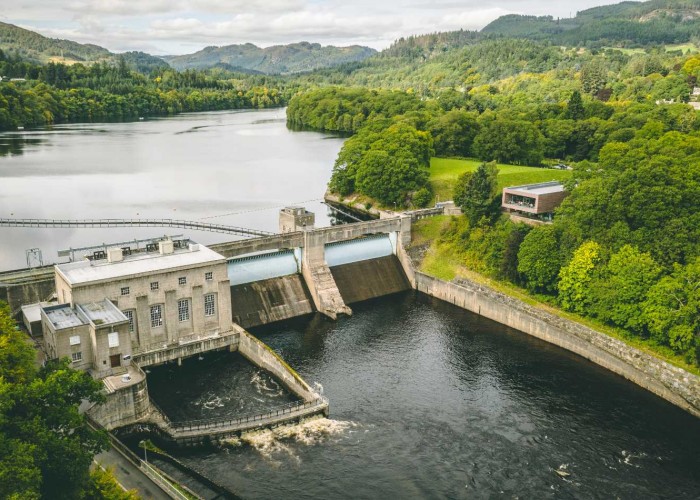
Pitlochry has kept pace with the times. Thousands come from all over the world to make this one of the most important stops on the
More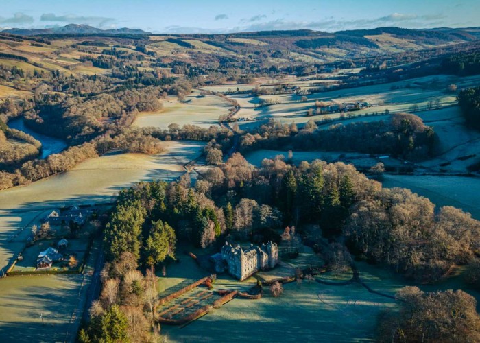

St Mary's Chapel in Grantully near Aberfeldy with a magnificent 1600s painted ceiling
More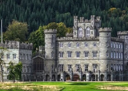
The spectacular Gothic edifice of Taymouth Castle is one of the grandest buildings in Scotland. Most was completed in 1807 by
More
Much of what is now called Breadalbane used to be in Atholl but the incoming Campbells of Glenorchy took the name as the title of
More
The name comes from the word 'uamh' in Gaelic which means cave. The caves are in the wooded crags above the village
More
Recently crop marks have been observed much closer to the village and, although confirmation is still needed, they show signs of b
More
Dunalastair and the estate is home to rare wildlife of Perthshire with offers scenic strolls around famous gardens
More

Some appreciate Highland Perthshire as no more than one of the most beautiful parts of Scotland.
More
The chiefs of Clan Menzies used to have their seat at Comrie Castle on the south bank of the river Lyon
More
Dunkeld and its cathedral were saved by the Dukes of Atholl. They were the law across 500 square miles of the Highl
More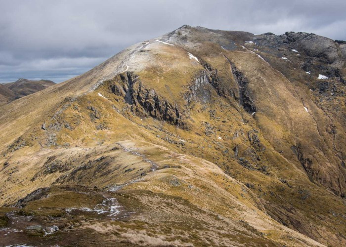
In the last few summers, Glasgow University archeologists have been exploring the mountain and have discovered t
More
Once fortifications would have covered the site of Garth Castle but now only the central keep remains
More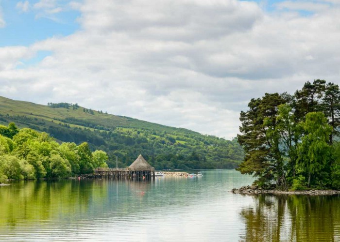
This, Scotland's sixth biggest loch, covers six and half thousand acres in its 14 miles between Kenmore and Killin. For thousan
More
The Glen was once home to over a thousand folk and on one of the best trodden thoroughfares between the western Highlands and the E
More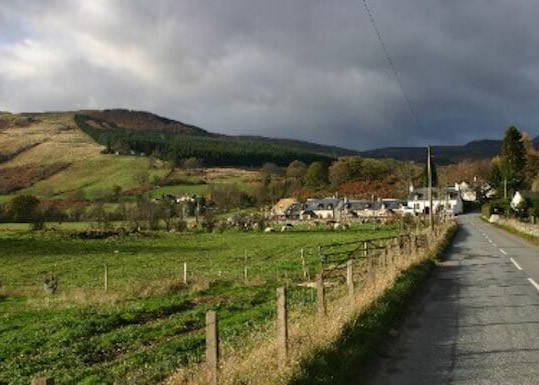
The statue to David Stewart of Garth, erected by the Stewart Society in 1925, in the uniform of a Black Watch captain
More
The double stone circle of Mary's Croft, an impressive standing stone monument in highland Perthshire
More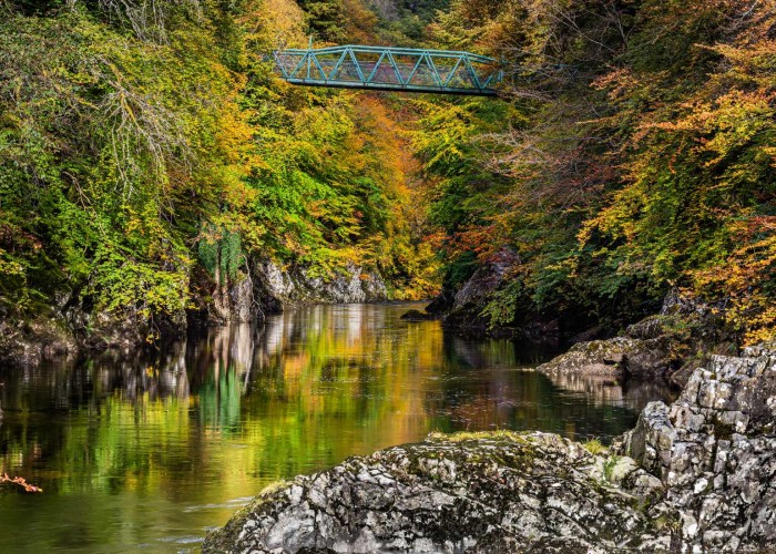

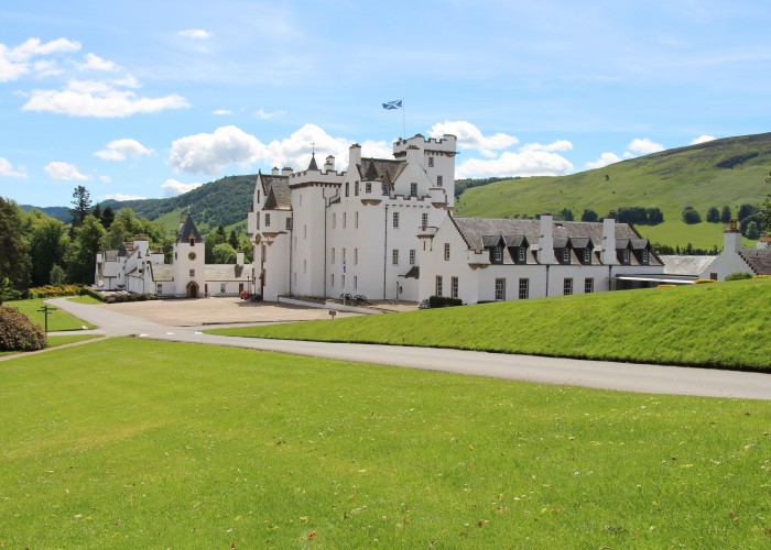

Aberfeldy is what used to be called a thriving market town. The market has long closed but the town still thrives.
More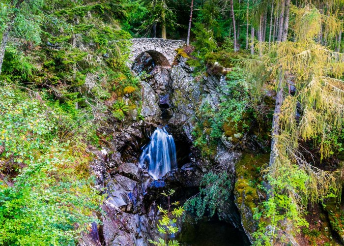
The site of the clan centre at Bruar is at the base of one of those spectacular gorges carved through soft rock by a burn in spate
More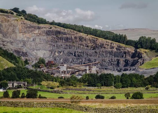
The history behind Shierglas Quarry - Set back the busy A9 road, connecting the south and north of Scotland.
More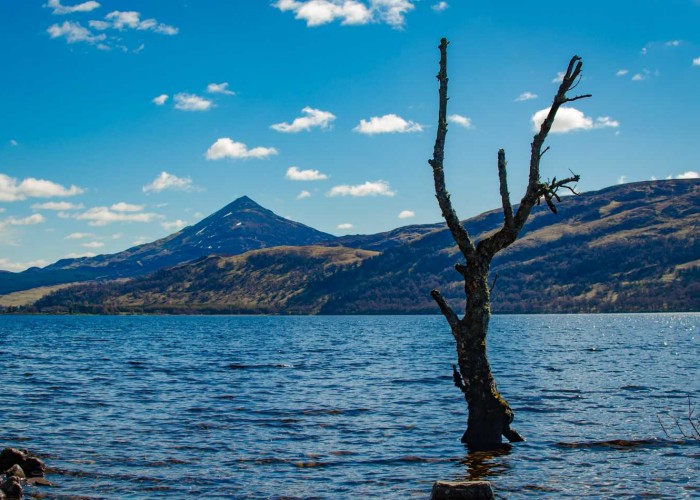
Like an island, the peak of Schiehallion stood above the ice. The millennia of frost left the shattered boulders and scree that
More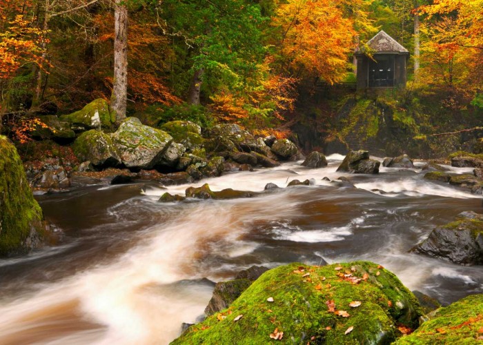
The building contained a chandelier and its walls were lined with mirrors reflecting the falls of turbulent river which was int
More
The castle, in private hands, dates from the late 1600s but doubled in size early this century.
More